|
|
|
|
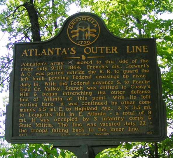
Atlanta's Outer Line GHM 060-87
far west edge of Crest Lawn Cemetery, enter through main gate on Marietta Blvd
(5/11/2005) [33°48'31sN, 84°26'48sW] |
|
|
|
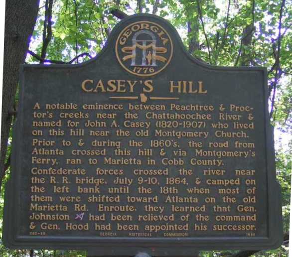
Casey's Hill GHM 060-86
far west edge of Crest Lawn Cemetery, enter through main gate on Marietta Blvd
(5/11/2005) [33°48'36sN, 84°26'46sW] |
|
|
|
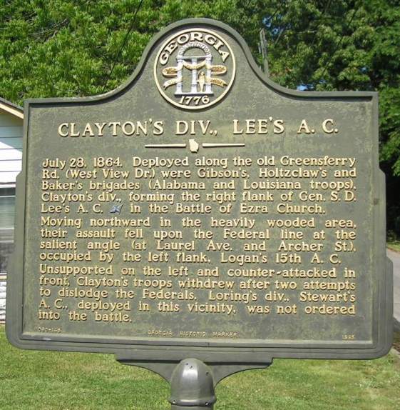
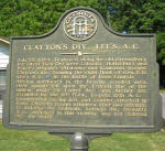
Clayton's Div., Lee's A.C. GHM 060-145
Elixir at Wellington Streets, Atlanta
(5/11/2005) [33°44'55sN, 84°26'18sW] |
|
|
|
Enroute to Jonesboro GHM 060-164
Fairburn Rd north of Cascade Rd and Utoy Creek
(5/5/2005) [33°44'17sN, 84°30'36sW]
|
|
|
|
|
|
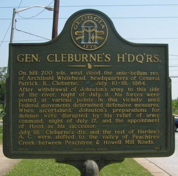
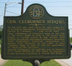
Gen. Cleburne's Headquarters
GHM 060-88 Johnson Rd just west of Perry Blvd and Marietta Rd, Atlanta
(5/11/2005) [33°47'17sN, 84°26'13sW] |
|
|
|
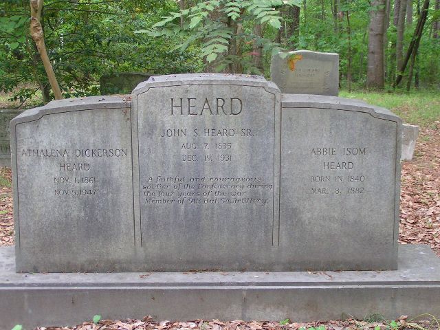
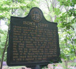
Isom's Ferry GHM 060-8
Heard family cemetery, end of
Heards Drive, Sandy Springs
(5/5/05) [33°55’16sN, 84°25’20sW] |
|

|
|
Heard family cemetery, end of
Heards Drive, Sandy Springs
(5/5/05) [33°55’16sN, 84°25’20sW] |
|
|
|
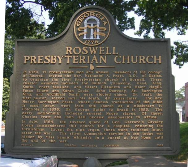
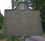
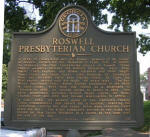
Roswell Presbyterian Church
GHM 060-122
At the church on Mimosa Boulevard, Roswell
(05/9/05) [34°01'08sN, 84°21'48sW] |
|
|
|

|
|
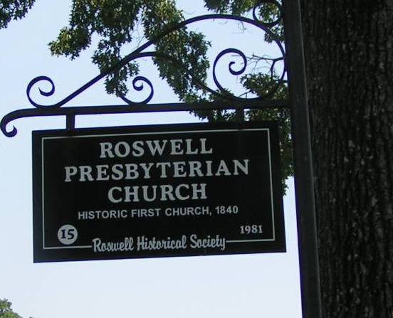
Roswell Presbyterian Church
Roswell City Marker
At the church on Mimosa Boulevard, Roswell
(05/9/05) [34°01'08sN, 84°21'48sW] |
|

|
|
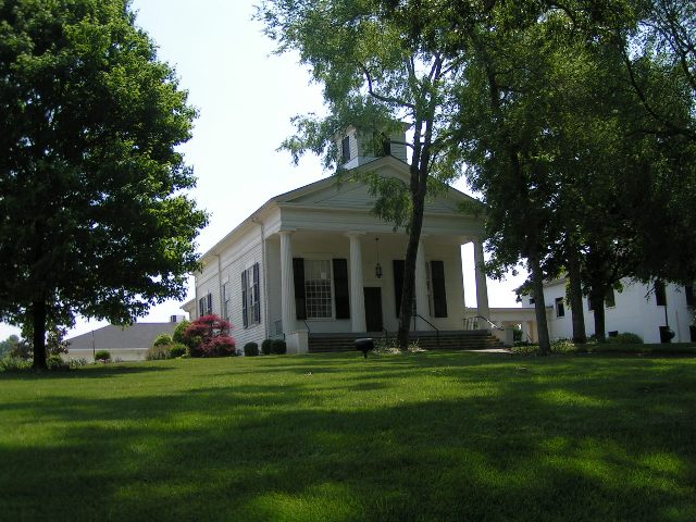
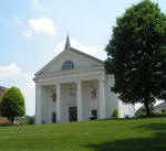
The Old Roswell Presbyterian Church
At the church on Mimosa Boulevard, Roswell
(05/9/05) [34°01'08sN, 84°21'48sW] |
|
|
|
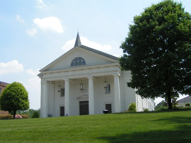
The New Roswell Presbyterian Church
At the church on Mimosa Boulevard, Roswell
(05/9/05) [34°01'08sN, 84°21'48sW] |
|

|
|
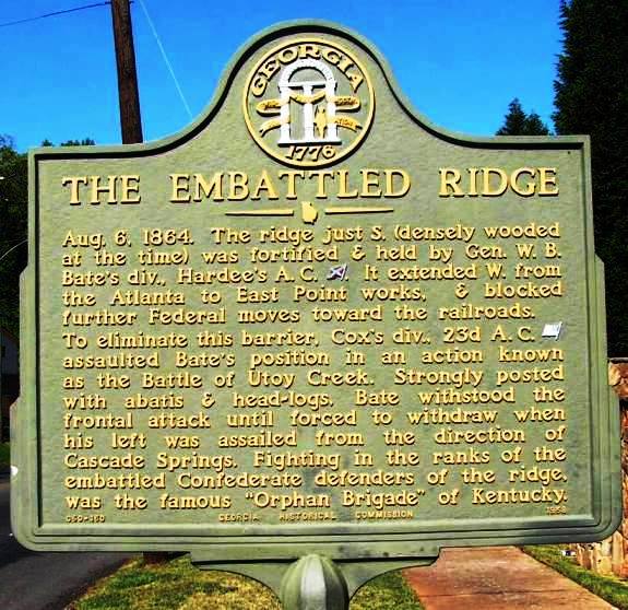
The Embattled Ridge GHM 060-160
Cascade Ave between Dodson Rd and Woodland Terrace, Atlanta
(4/27/05) [33°43’11sN, 84°28’25sW] |
|
|
|
|
|
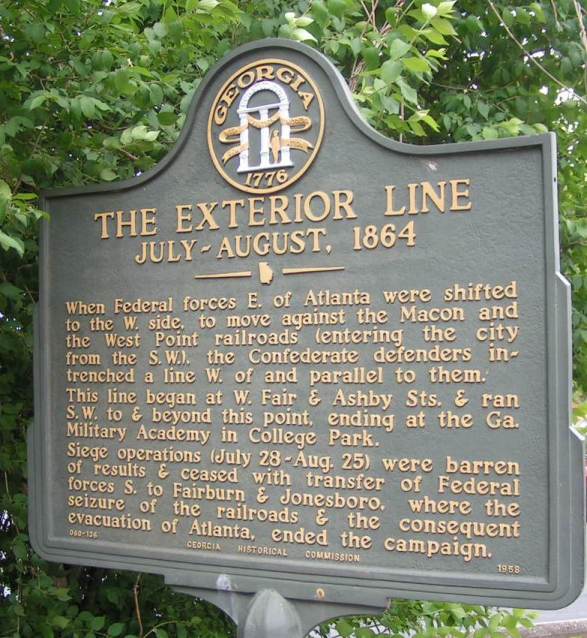
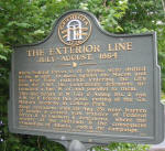
The Exterior Line July-August 1864 GHM 060-136
Cascade Ave at Ralph Abernathy Dr, Atlanta
(5/5/2005) [33°44'20sN, 84°25'59sW] |
|

|
|
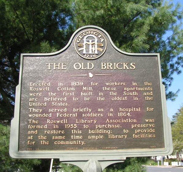
The Old Bricks GHM 060-120
Sloan and Mill Streets, Roswell
(04/11/05) [34°00'55.3sN, 84°21'40.9sW] |
|
|
|
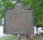
The Sandy Springs SSF
Sandy Springs Circle at Hilderbrand Dr, Sandy Springs
(05/5/05) [33°55'21sN, 84°22'59sW] |
|
|
|
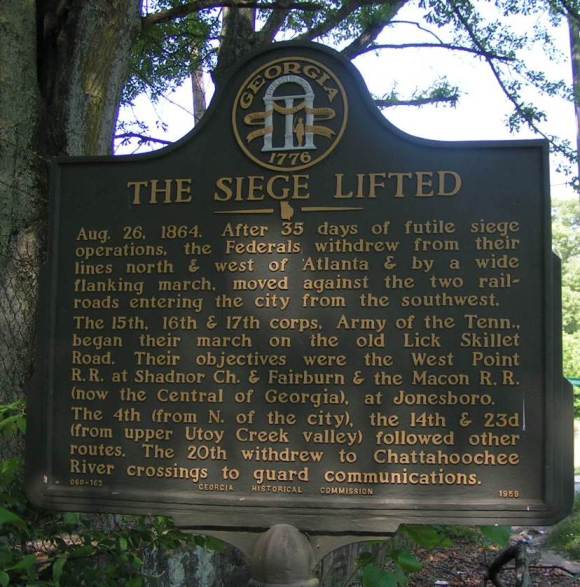
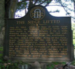
The Siege Lifted GHM 060-163
Martin Luther King Dr near
Larchwood Road, Atlanta
(5/11/2005) [33°45'01sN, 84°27'24sW] |
|
|