|
|
|
|
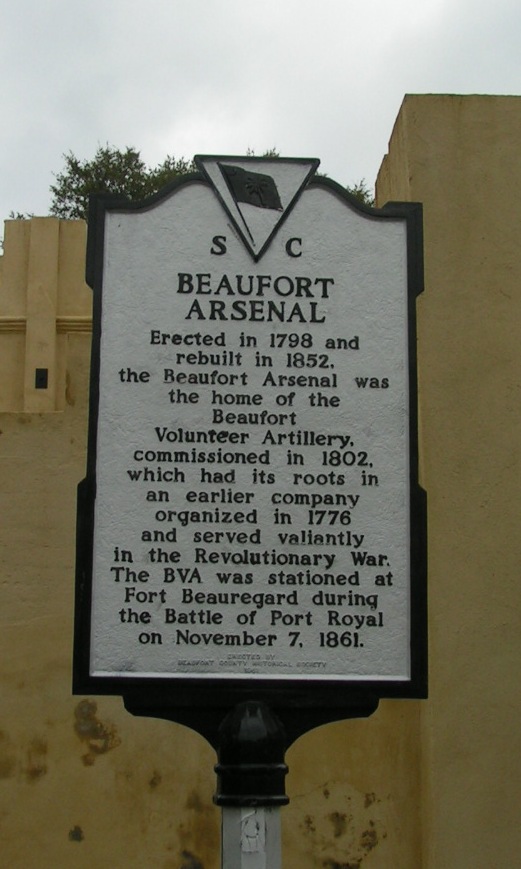
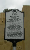
Beaufort Arsenal
Revisted Feb 22, 2011
32.432805º N 80.670397º W |
|
|
|
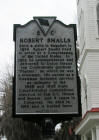
Robert Smalls
Revisted Feb 22, 2011
32.432735º N 80.672493º W |
|
|
|
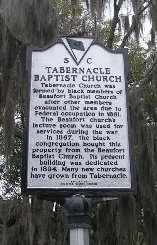
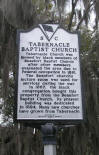
Tabernacle Baptist Church
Revisted Feb 22, 2011
32.432735º N 80.672493º W |
|
|
|
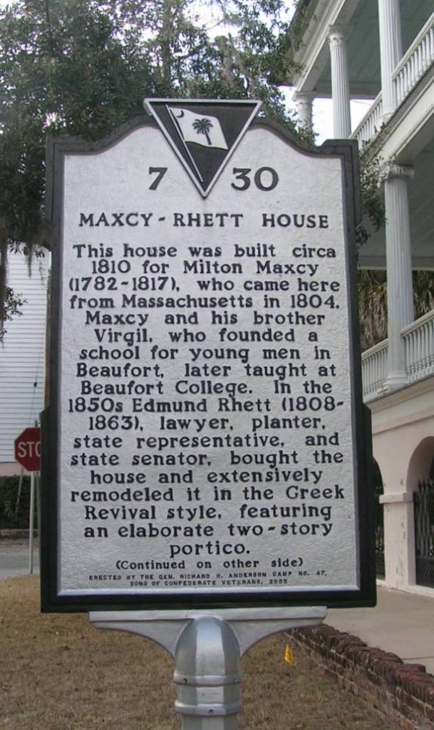
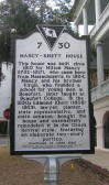
Maxcy - Rhett House
Revisted Feb 22, 2011
32.432771º N 80.675159º W |
|
|
|
|
|
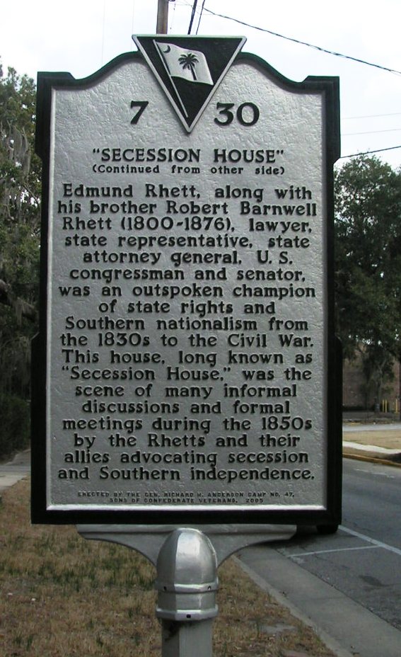
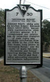
"Secession House"
Revisted Feb 22, 2011
32.432771º N 80.675159º W |
|
|
|
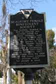
Beaufort Female Benevolent Society
Revisted Feb 22, 2011
32.432173º N 80.670894º W |
|

|
|
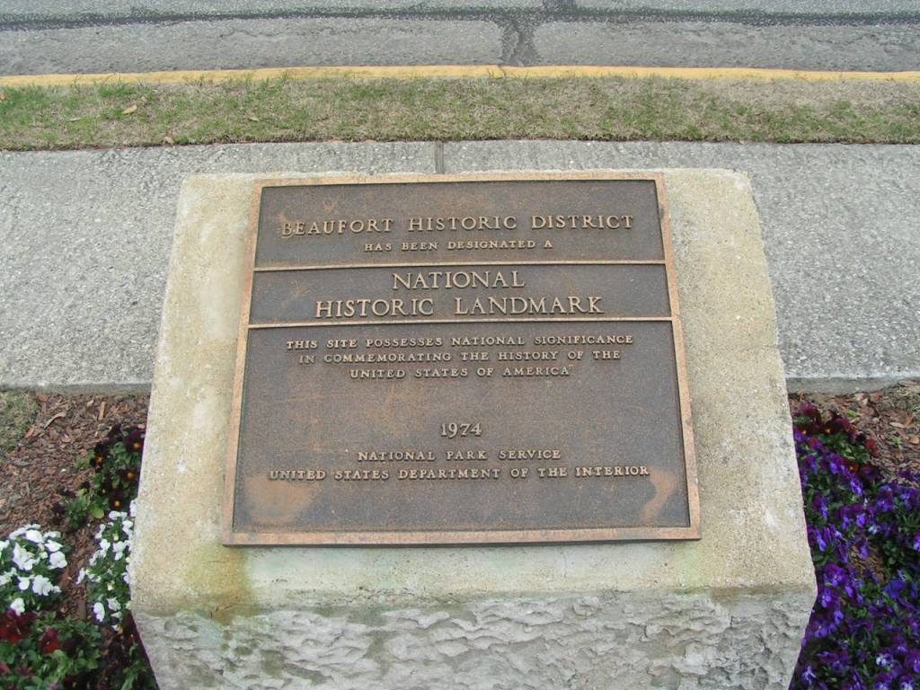
Beaufort Historic District
Feb 22, 2011
32.438293°N 80.675354°W |
|
|
|
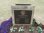
Freedom Mall
Henry C. Chambers Waterfront Park
32.438293°N 80.675354°W
Feb 22, 2011 |
|
|
|
|
|
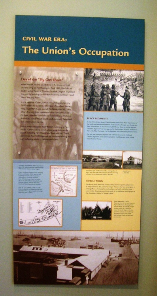
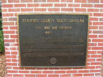
Beaufort County South Carolina,
Civil War and forward 1860 -
Henry C. Chambers Waterfront Park
32.430296°N 80.672007°W
Feb 22, 2011 |
|

|
|
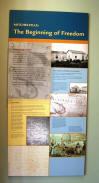
Interpretive panels at The Coastal Discovery Museum
Feb 21, 2011
32.211948°N 80.743782°W |
|
|
|
Interpretive panels at The Coastal Discovery Museum
Feb 21, 2011 |
|
|
|
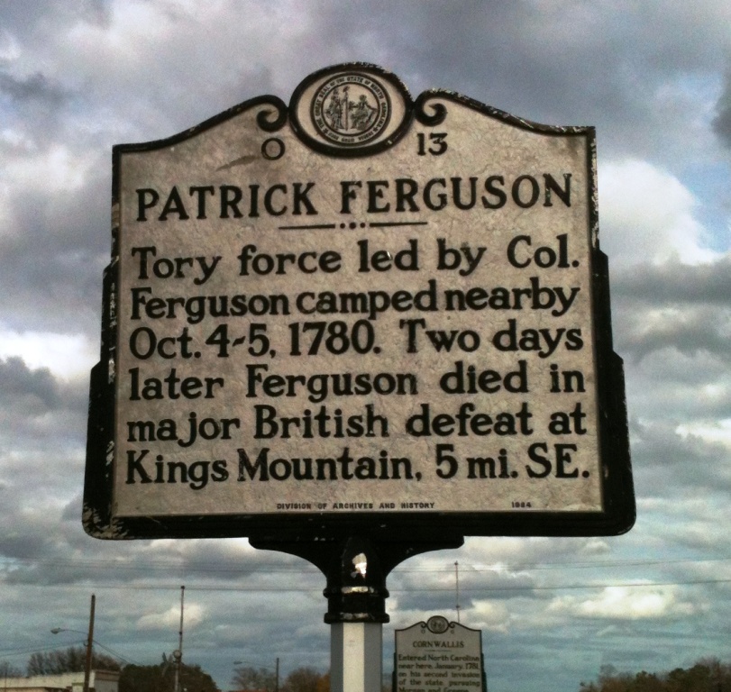
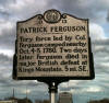
Patrick Ferguson O-13
Border of SC and NC on US 29 off of I-85
(11/26/11) [35.168509º N
81.450039º W] |
|
|
|
|
|
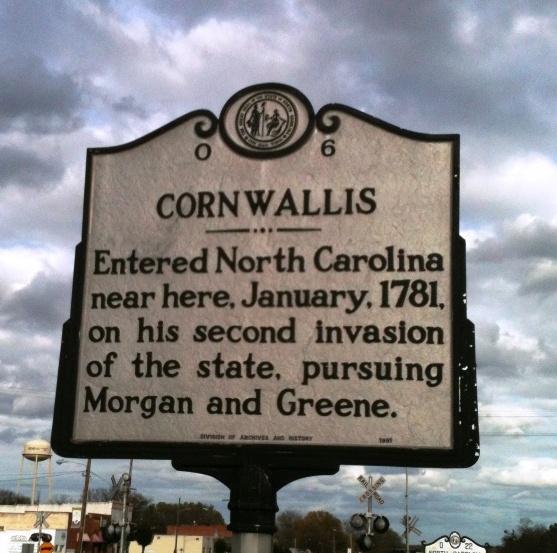
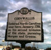
Cornwallis O-6
Border of SC and NC on US 29 off of I-85
(11/26/11) [35.168509º N
81.450039º W] |
|
|
|
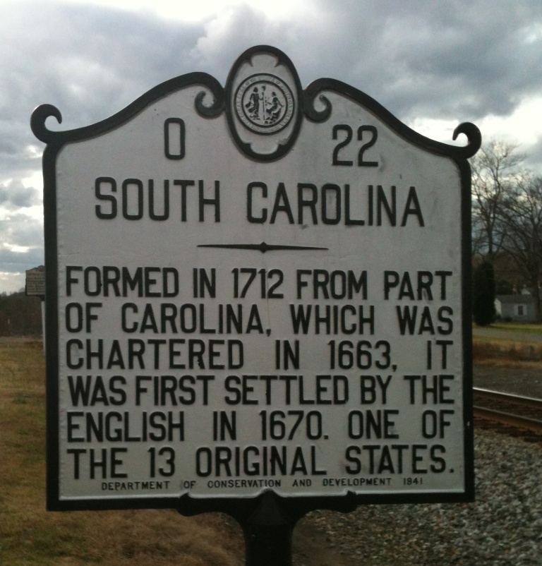
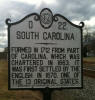
South Carolina O-22
Border of SC and NC on US 29 off of I-85
(11/26/11) [35.168509º N
81.450039º W] |
|
|