|
|
|

|
|
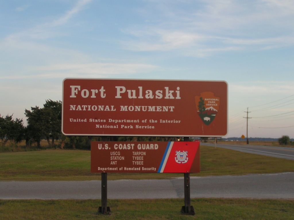
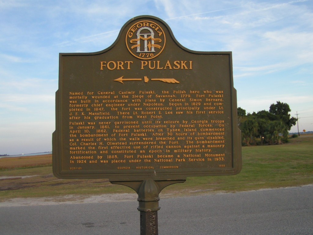
Fort Pulaski
GHM 025-61
US 80 near the entrance to Fort Pulaski
11/14/2006 [32.01875, -80.89972] |
|
|
|
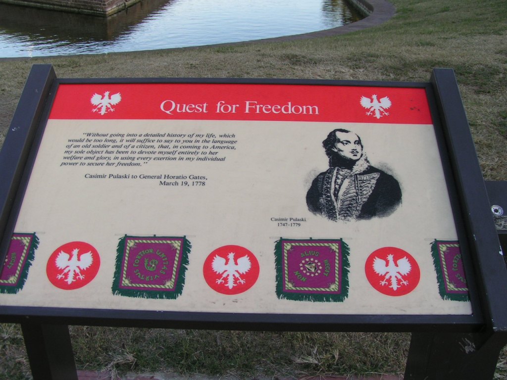
Casimir Pulaski Marker |
|
|
|
|
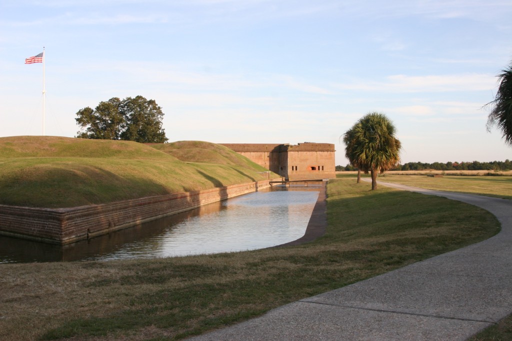
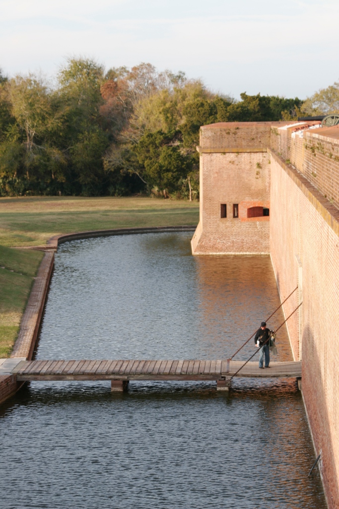
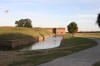
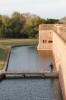
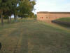
Part of moat that surrounds the fort.
The historic dike system, designed by Lt. Robert E. Lee, allowed for tide control and drainage which aided in the construction of Fort Pulaski.
|
|
|
|

|
|
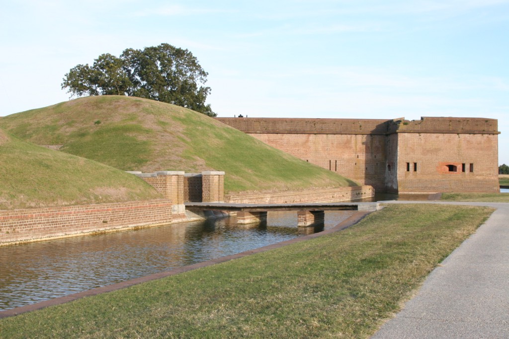
Part of moat that surrounds the fort. |
|

|
|
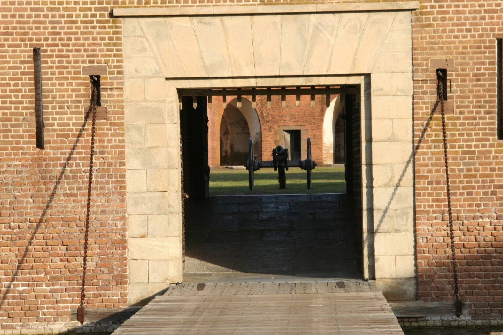
Entrance to fort. |
|
|
|
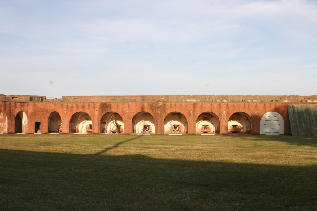
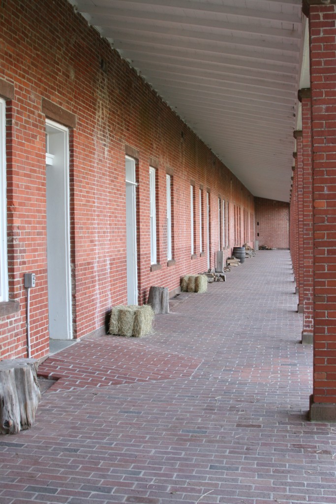
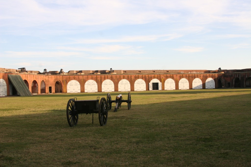
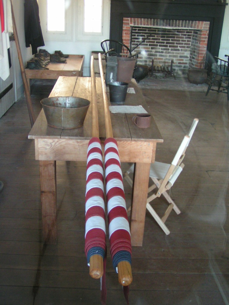
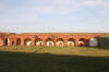
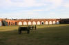
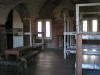
Inside the fort. |
|
|
|
Inside the fort. |
|
|
|
Inside the fort. |
|
|
|

|
|
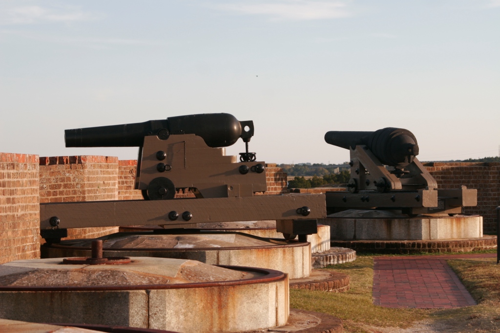
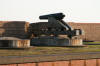
Gun placements overlooking the Savannah River |
|
|
|
Gun placements overlooking the Savannah River |
|
|
|
Part of moat that surrounds the fort. |
|
|
|
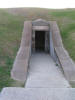
Entrance to powder magazine. |
|

|
|
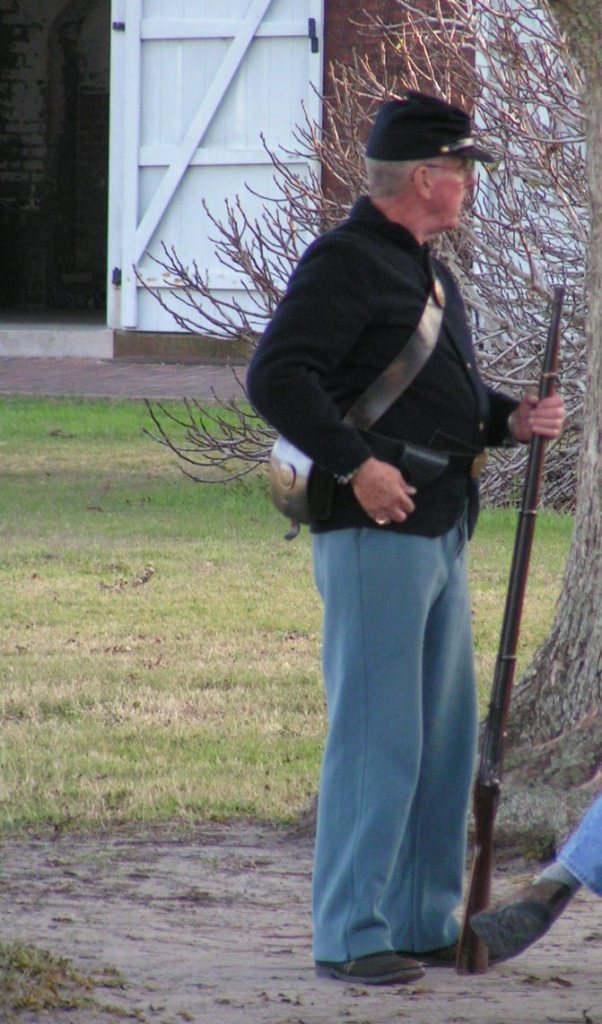
Daily interpretive programs including guided tours and musket firings. |
|
|
|
|
|
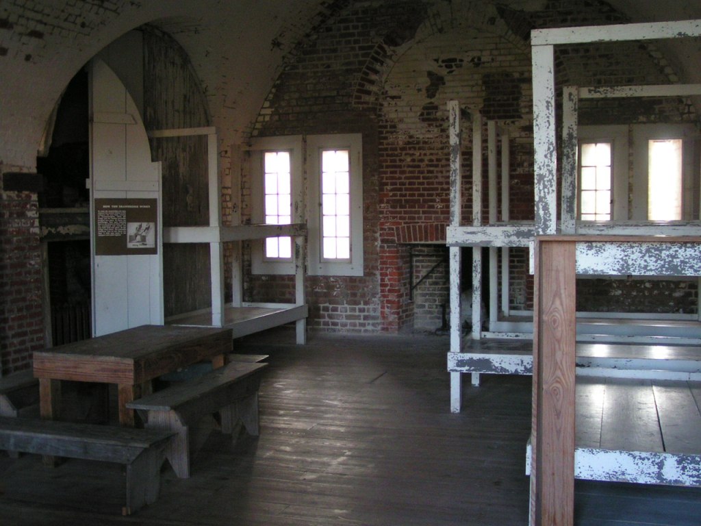
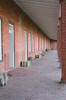
Enlisted quarters. |
|
|
|
|
Gun placements overlooking the Savannah River |
|
|
|
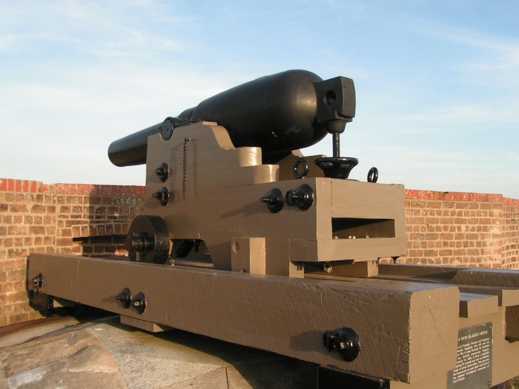
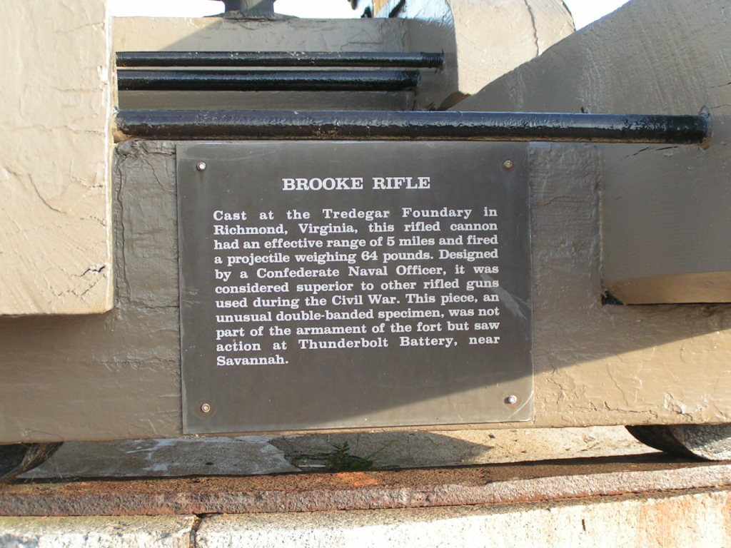
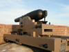
Brook Rifle |
|
|
|
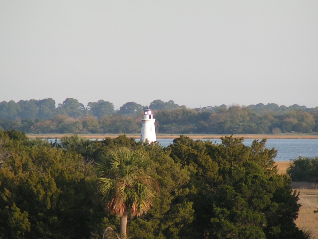
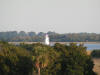
Cockspur Island, the Cockspur Light as seen from the fort
|
|
|
|
|
|
|
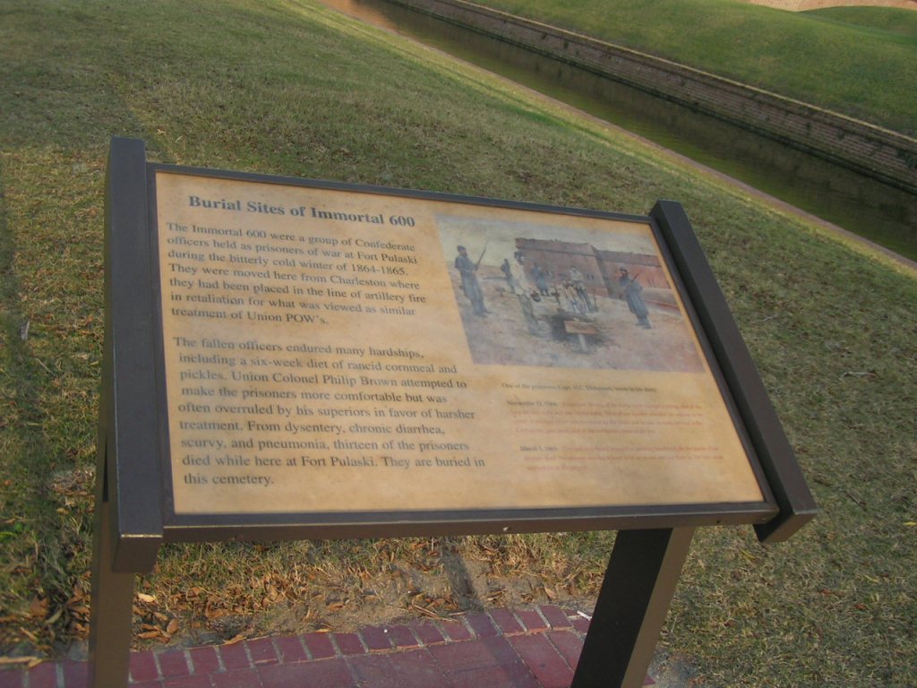
Burial Site of Immortal 600 |
|
|

![Text Box: Fort Pulaski
[32.01875, -80.89972]
(Click the image to enlarge.)](fort_pulaski_files/image001.gif)