|
|
|
|
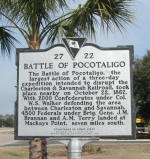
The Battle of Pocotaligo
32.631954º N 80.875927º W
Feb 15, 2011 |
|
|
|
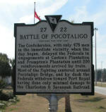
The Battle of Pocotaligo
Side 2 |
|
|
|
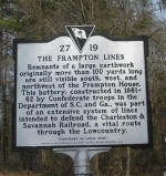
The Frampton Lines
32.632922º N 80.873067º W
Feb 15, 2011 |
|
|
|
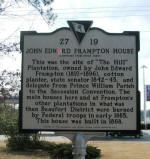
John Edward Frampton House
32.632922º N 80.873067º W
Feb 15, 2011 |
|
|
|
|
|
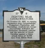
Fighting Near Coosawhatchie
32.631300º N 80.877614º W
Feb 15, 2011 |
|
|
|
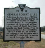
General Robert E. Lee
32.631300º N 80.877614º W
Feb 15, 2011
|
|
|
|
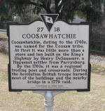
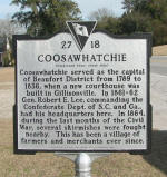
Coosawhatchie
32.588679º N 80.929572º W
Feb 15, 2011 |
|
|
|
Coosawhatchie
Side 2 |
|
|
|
|
|
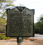
Gillisonville Baptist Church
32.607448° -80.998533°
Feb 15, 2011 |
|
|
|
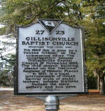
Gillisonville Baptist Church
Side 2 |
|
|
|
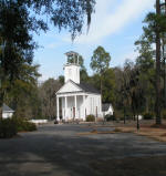
Gillisonville Baptist Church |
|
|
|
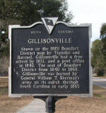
Gillisonville
32.609119° -80.999788°
Feb 15, 2011 |
|
|
|
|
|
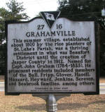
Grahamville
32.470968° -80.964861°
Feb 15, 2011 |
|
|
|
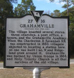
Grahamville
Side 2 |
|
|
|
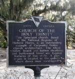
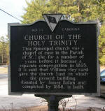
Church of the Holy Trinity
32.470810° -80.964697°
Feb 15, 2011 |
|
|
|
Church of the Holy Trinity
Side 2 |
|
|
|
|
|
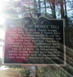
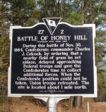
Battle of Honey Hill
32.481053° -80.935102°
Feb 15, 2011 |
|
|
|
Battle of Honey Hill
Side 2 |
|
|
|
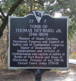
Tomb of Thomas Heyward, Jr.
1746-1809
32.456744° -80.898708°
Feb 15, 2011 |
|
|
